
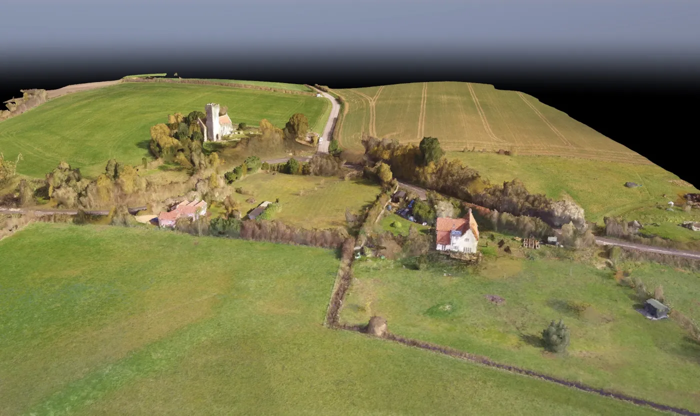
Mapping
Topographical surveys, maps in both 2D GeoTIFF and 3D models.
- Topographical surveys
- 2D GeoTIFF maps
- 3D models
Explore UVUE’s current mapping and radiometric thermal survey services, or visit Agrivue for specialist multispectral agricultural imagery.
Topographical surveys, maps in both 2D GeoTIFF and 3D models.
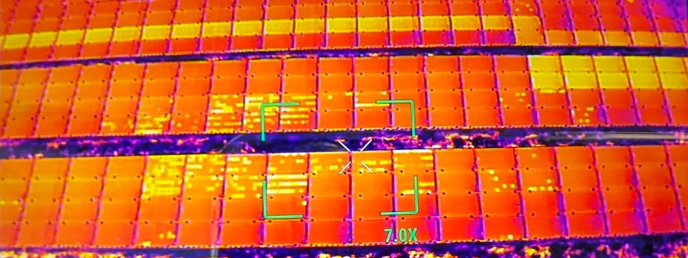
Radiometric thermal surveys can be used for building inspections, solar panels and more.
Agrivue, UVUE’s sister company
Farmers benefit from detailed aerial images indicating the health of the crops for precision agriculture.
Agrivue, UVUE’s sister company, deals specifically with specialist multispectral imagery.
Visit AgrivueTell us what you need to map or inspect, and we will help you establish the right next step.